Bike Trip Report - Pitt Meadows to Fort Langley
Saturday, May 28, 2005
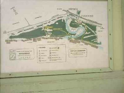
Picking up the Trans Canada Trail on the east shore of the Pitt River.
Beginning the Trans Canada Trail with a view north west across the Pitt River (Coquitlam on the other side).
-->
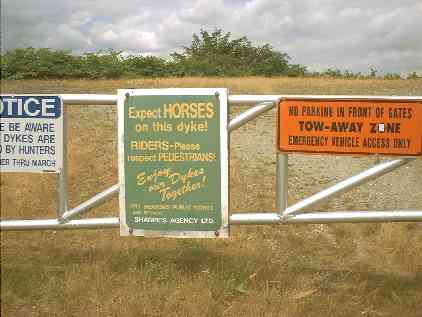
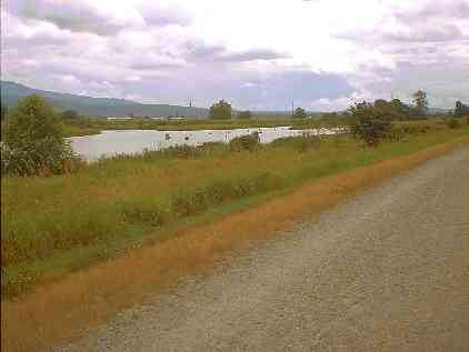
TCT north along the east shore of the Pitt River - the east Pitt River Dike.
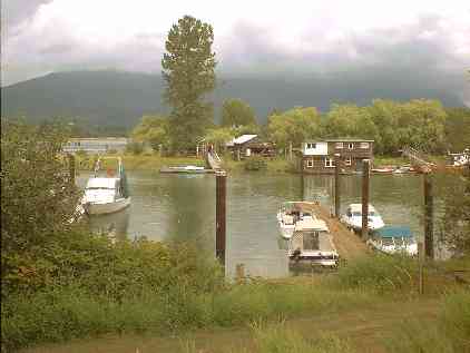
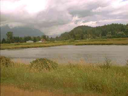
Photo Op at a small marina on the Pitt River.
Photo Op at a small marina on the Pitt River.
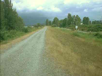
The TCT along the Alouette River - South Alouette River Dike.
-->
The Alouette River.
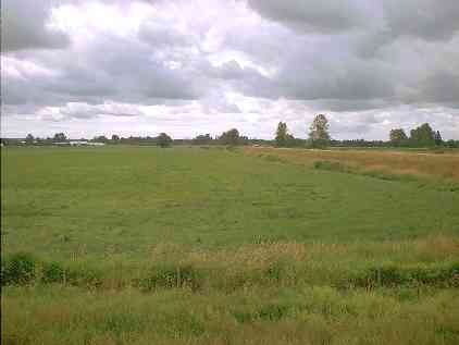
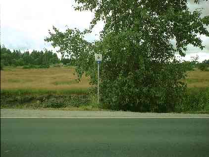
View to the south over primarily blueberry fields.
The TCT has now turned eastward along the Alouette River - South Alouette River Dike.
The South Alouette River Dike portion of the trail (looking back) ends at Neaves Road.
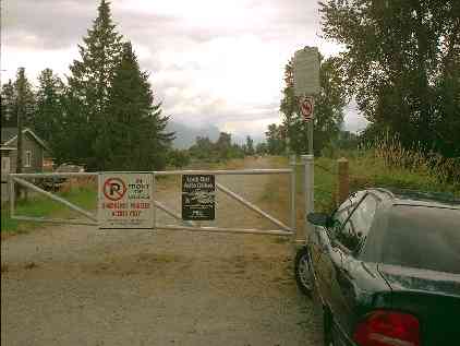
Across Neaves Road -- keep a sharp lookout for the TCT sign.
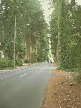
The TCT trail takes on a suburban look for a few kilometers.
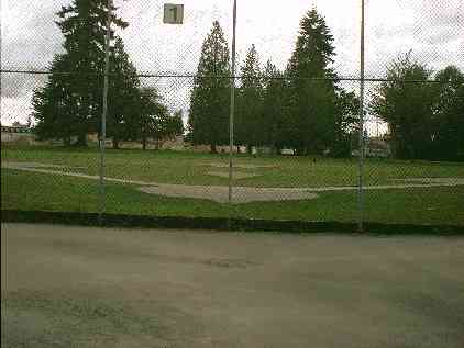
Baseball diamond in the middle of suburbia.
Downtown Haney (Maple Ridge).
-->
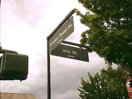
Downtown Haney (Maple Ridge) -- Dewdney Trunk Road and 224th Street.
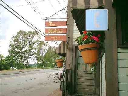
I lost the TCT a few 100 meters back - here I'm at the Billy Miner Pub (on the Haney By-pass).
I lost the TCT a few 100 meters back - here I'm at the Billy Miner Pub (on the Haney By-pass).
View along the Haney By-pass - looking up the Fraser River (east) - from in front of the Billy Miner pub.
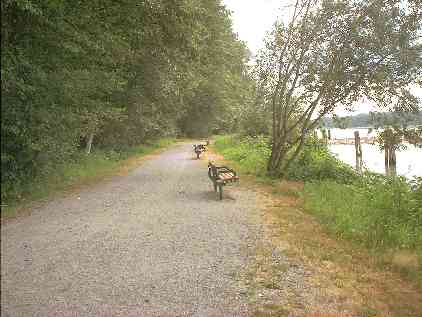
Off the Haney By-pass and then briefly onto the Lougheed Highway (a few meters) and I turned into Kanaka Creek Regional Park.
Off the Haney By-pass and then briefly onto the Lougheed Highway (a few meters) and I turned into Kanaka Creek Regional Park.
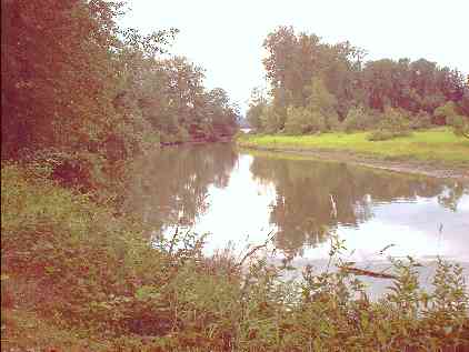
View along Kanaka Creek shortly before it merges with the Fraser River.
The Fraser River from Kanaka Park (upstream - east).
The Fraser River from the Kanaka Park trail (upstream - east).
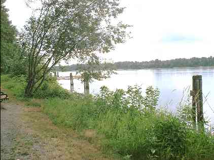
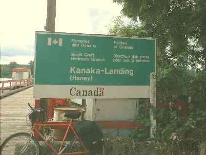
Dock on the Fraser - Kanaka-Landing in Haney.
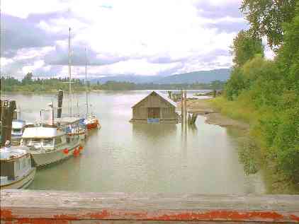
Kanaka-Landing - looking downstream.
Newer Posts
Older Posts
Home
Subscribe to:
Comments (Atom)